Favorite Telluride Hikes
Telluride's backyard is a hiker's paradise. The hiking ranges from short loops that travel above town to long day hikes that reward hikers with spectacular views of alpine lakes, waterfalls, and fields of wildflowers (July and early August). Here are some of our favorite trails, most of which start right from town.
Ridge Trail This intermediate trail offers two options. Ride the Gondola to Station St. Sophia and take the trail down to Mountain Village. Or, start in the Village and hike up to Station San Sophia. There you can opt to go higher still via See Forever or use Telluride Trail to head down – steeply at times – to the town of Telluride. Jaw-dropping views and peaceful switchbacks through aspen forest await.
Jud Wiebe Starting at the Cornet Creek Bridge on North Aspen Street, the Wiebe is a 3-mile-long loop that vigorously climbs about 1,200 feet to a summit ridge with panoramic views that encompass not just Telluride below, but also Bridal Veil Falls, the valleys above Bear Creek and the Telluride Ski Resort.
Bear Creek This popular hike is about 4.5 miles roundtrip. Starting at South Pine Street, the beautiful double track takes you into Bear Creek Canyon, gaining 1,050 feet in elevation on its way to a cascading waterfall at the base of Wasatch Basin, itself a gateway to longer hikes.
Sneffels Highline At 13 miles long and with an elevation gain of 2,274 feet, the challenging Sneffels Highline is best accessed by getting on the Wiebe at North Aspen, taking the left at the top of the third switchback to Mill Creek and heading north at the sign. Ascend through aspens and steeply crisscross a scree field before topping out at a 12,000-foot ridge and descending through a valley lush with wildflowers.
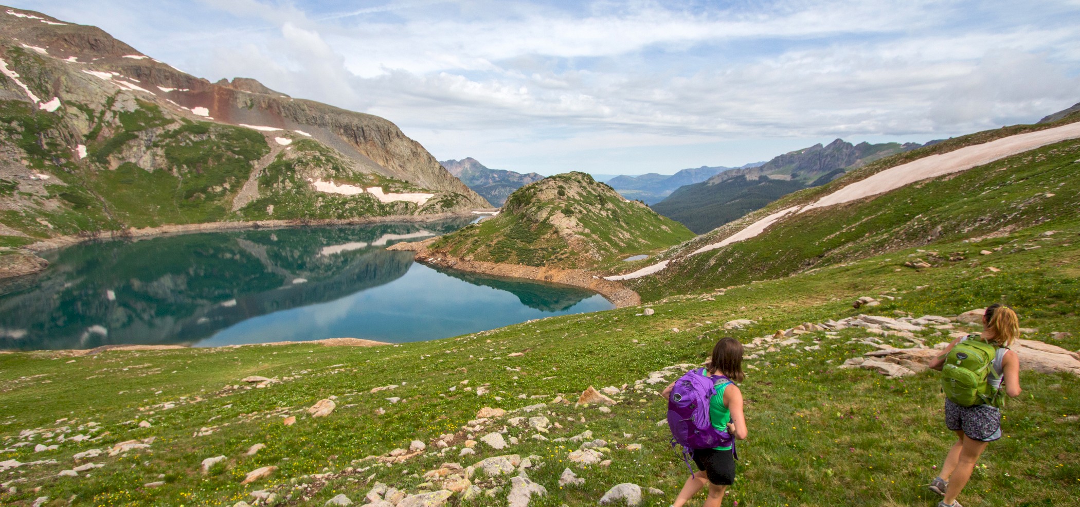
Lake Hope About 5.5 miles roundtrip, this trail begins with a meander through a forest broken by streams and meadows of wildflowers. Eventually the track, whose total elevation gain is 1,200 feet, ascends via steep switchbacks to rolling alpine tundra before finishing at Lake Hope. Access the trailhead by driving south on Hwy. 145 and turning left at Trout Lake. After about a mile turn left onto Forest Road no. 627.
Before any hike, consult trail descriptions and a map, check weather, and be prepared.
-- Jesse James McTigue and Erin Spillane