Mount Wilson
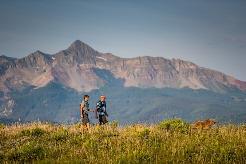
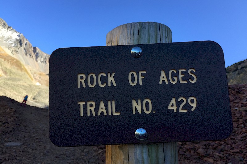
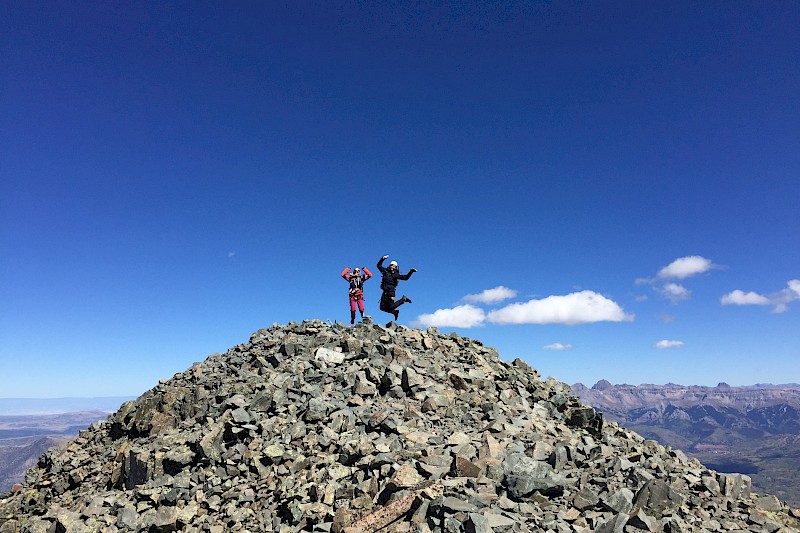
Mount Wilson is a 14,250-foot hike located just outside Telluride, Colorado in the Lizard Head Wilderness. It is widely considered one of the most difficult 14ers in Colorado. There are multiple ways to summit this peak, but the most popular routes are Rock of Ages and the Kilpacker Trailhead. It's popular due to the possibility of traversing El Diente, Mount Wilson and Wilson Peak all in one trip. There is climbing involved in this hike, so a partner and helmets are recommended. Dogs will not do well on this trail.
Directions:
Drive south on Colorado 145 to Lizard Head Pass. Continue south for 5.2 miles before turning right on Forest Road 535. Continue five miles on the dirt road (2WD) to reach the Kilpacker trailhead on the right.
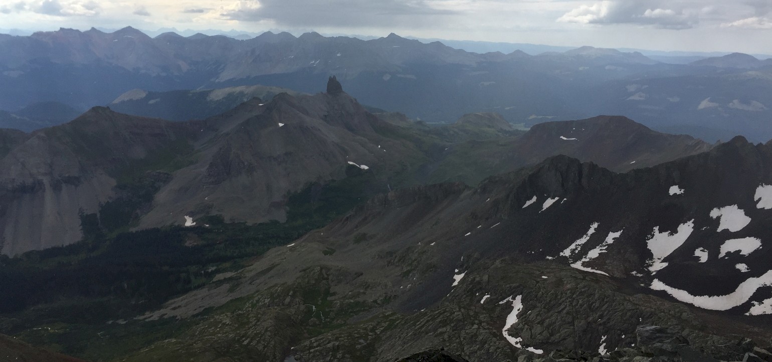
From the trailhead, hike west through meadows and continue into the trees. Continue northwest until you hit a junction 2.25 miles in and turn right. In another 1/2 mile, you'll reach a large meadow, where there are camping spots galore. To continue, head northeast along a well-marked trail, where you will encounter a waterfall to your right. Continue out of the trees through a large talus field right below El Diente's west ridge. There will be several more talus fields and difficult spots before you reach the turn-off for the El Diente Route at around 12,600 feet. From here, look for small cairns on your way to the summit.